
At Legacy Habitat and Land Management, our mission is to help landowners create thriving, wildlife-rich properties that reflect both purpose and passion.
Whether you're improving hunting grounds, enhancing native habitat, or using cutting-edge drone technology for recovery, mapping, or analysis, we bring hands-on experience, professional-grade equipment, and deep respect for the land to every job.
This isn’t just work for us, it’s a lifestyle.
What is Land Management?
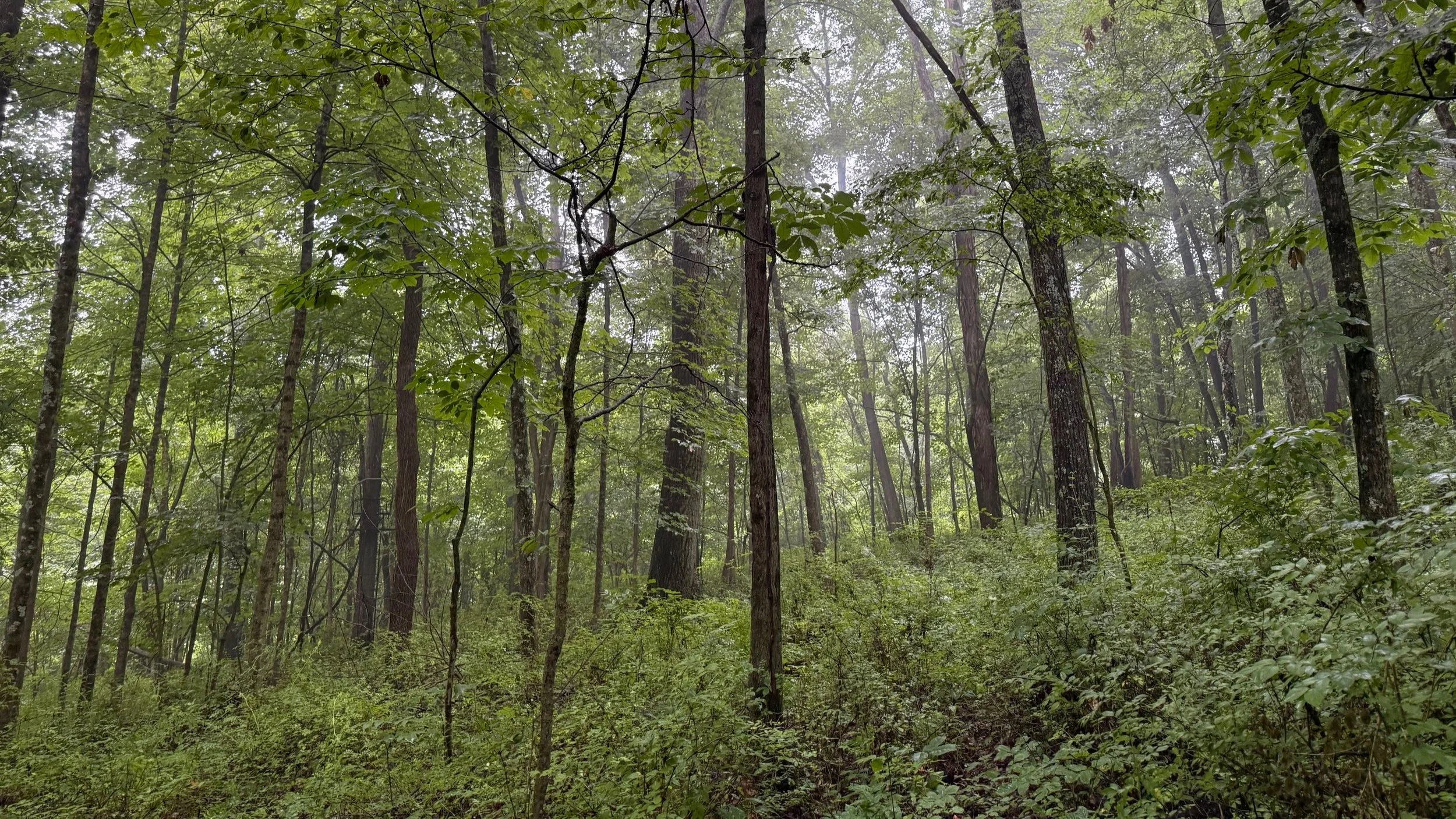
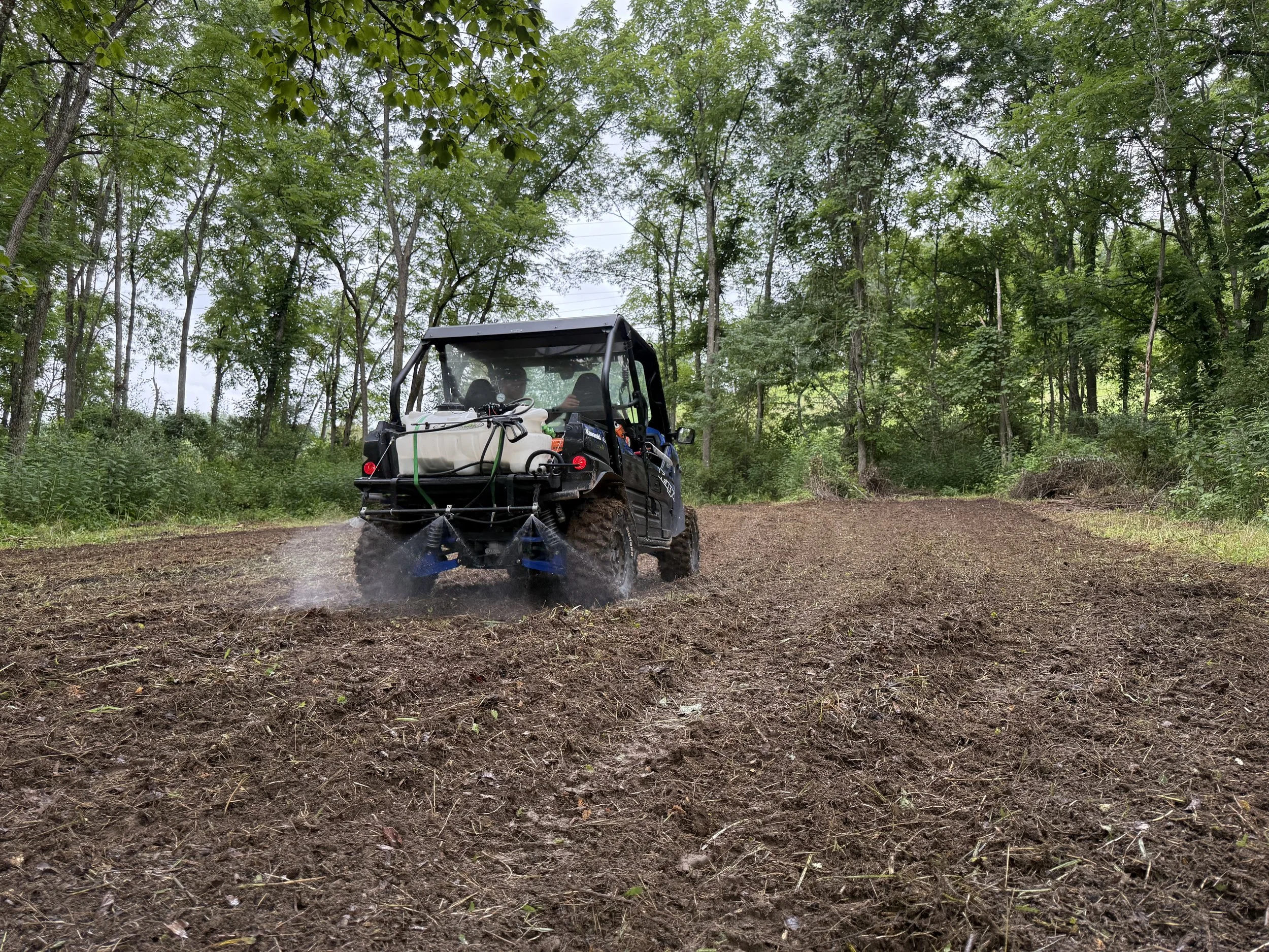
Land management isn’t just maintaining property—it’s understanding it, improving it, and respecting what it has the potential to become. At LHLM we incorporate boots on the ground with a combined 50 years of experience, along with the latest technology including drones for herd analysis and updated aerial mapping, as well as long-term vision to help landowners enhance their wildlife habitat, restore balance, and unlock the full value of their property. Each with a custom short term and long term game plan to your specific parcel of land. Whether it’s scouting or preparing food plots, restoring native growth or managing overgrowth, creating bedding, identifying travel routes, funnels, and pinch points, instructing prescribed burns, hinge cutting or TSI, or even something as simple as clearing/creating trails, we’re here for a multitude of your needs.
Why?
Because land doesn’t thrive by accident. It takes intention, effort, and the right strategy. We do what we do because we believe your land should serve a purpose—whether that’s attracting wildlife, creating a place to hunt, improving your hunts, or passing on the legacy to the next generation better than the land was found. Legacy Habitat & Land Management exists to help landowners take pride in their property and create something that lasts.

What is Drone Technology?
Drone services aren’t just an add-on—they’re at the core of how we deliver results. At LHLM, we use DJI Matrice 30T and DJI Matrice 4T drones, equipped with thermal imaging and high-resolution cameras, to provide a perspective that boots on the ground can’t match.
From aerial mapping that delivers precise acreage and topographic data, to herd analysis that tracks both wildlife movement and livestock health, our drones bring accuracy and efficiency to every project. We also specialize in deer and pet recovery, using thermal technology to quickly locate what would otherwise remain unseen.
By combining decades of land management experience with cutting-edge drone technology, we give landowners the insight and tools they need to manage property smarter, faster, and with greater confidence.